Developers and master planners
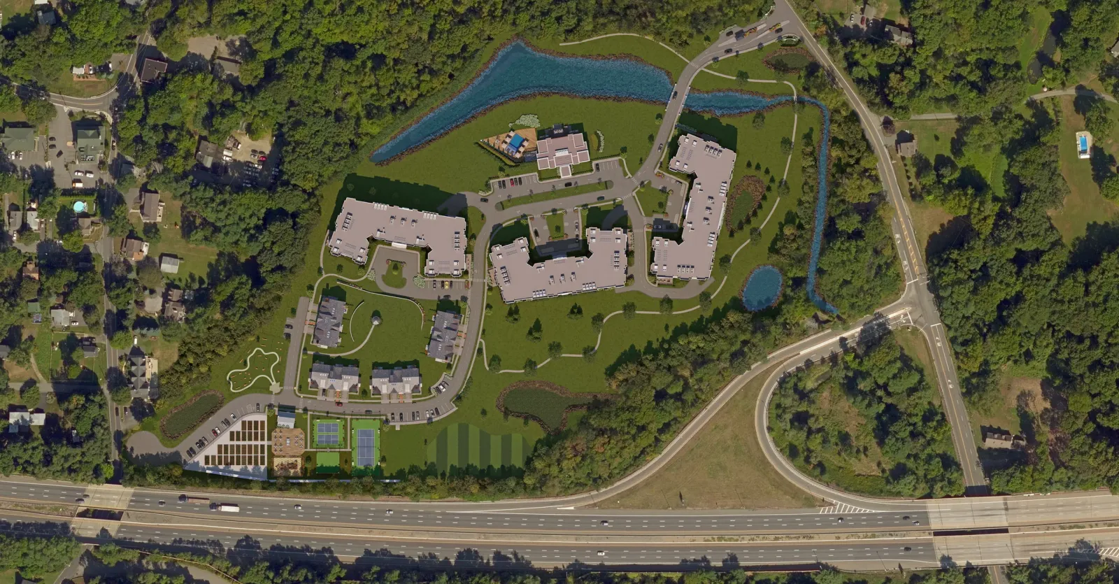
A site plan rendering explains in one image what a large project is: how much is built, how much is open space, and how it connects to the roads and the town around it.
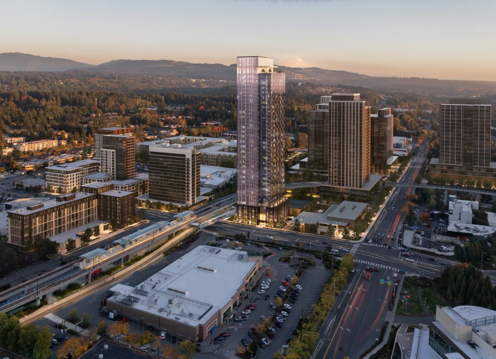
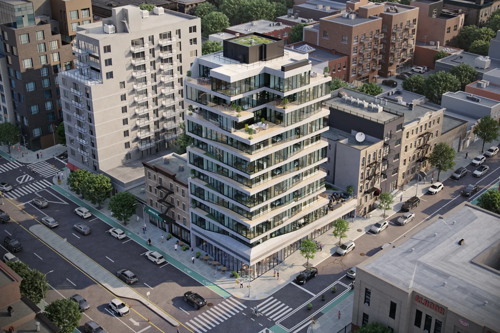
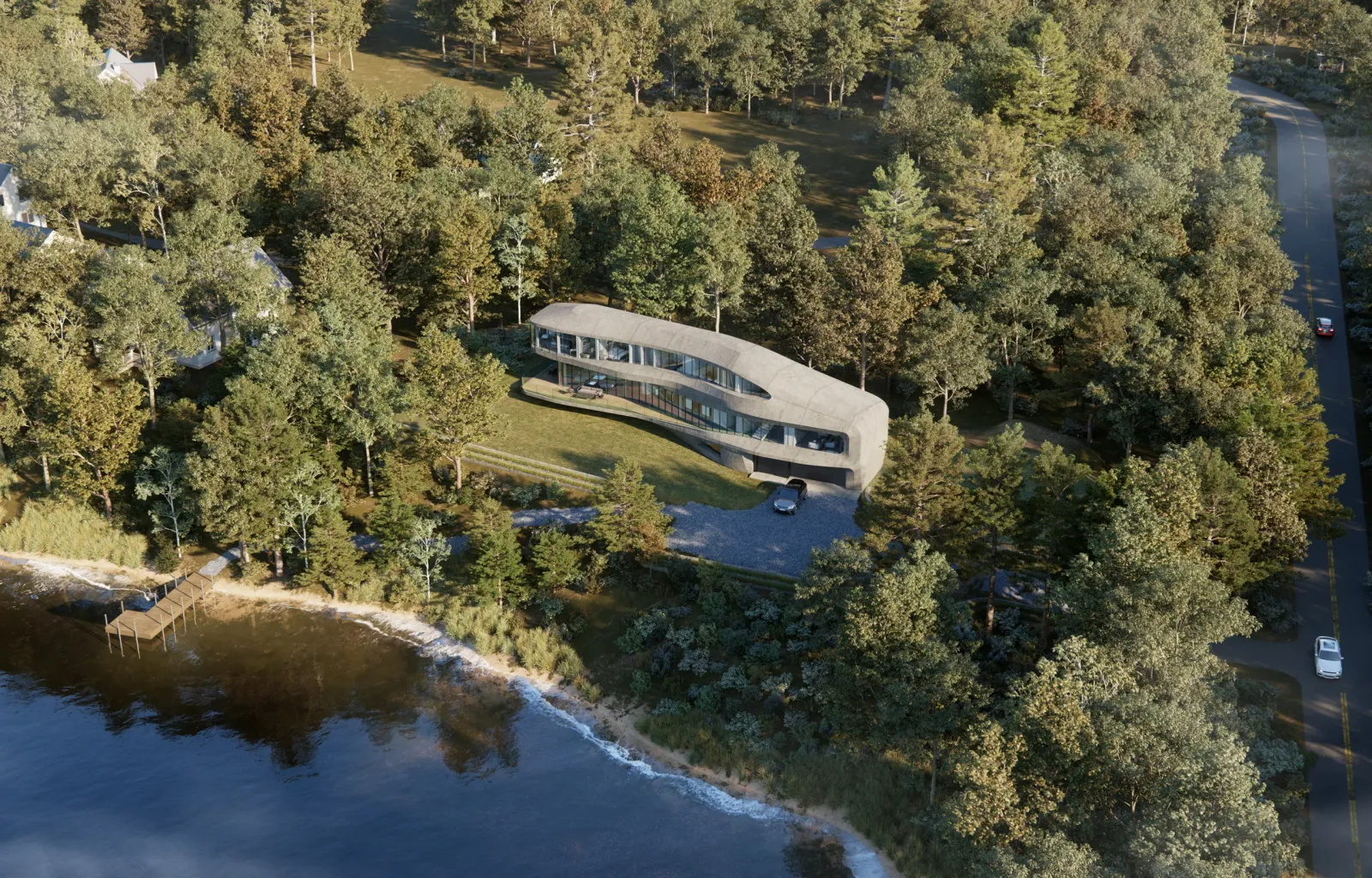
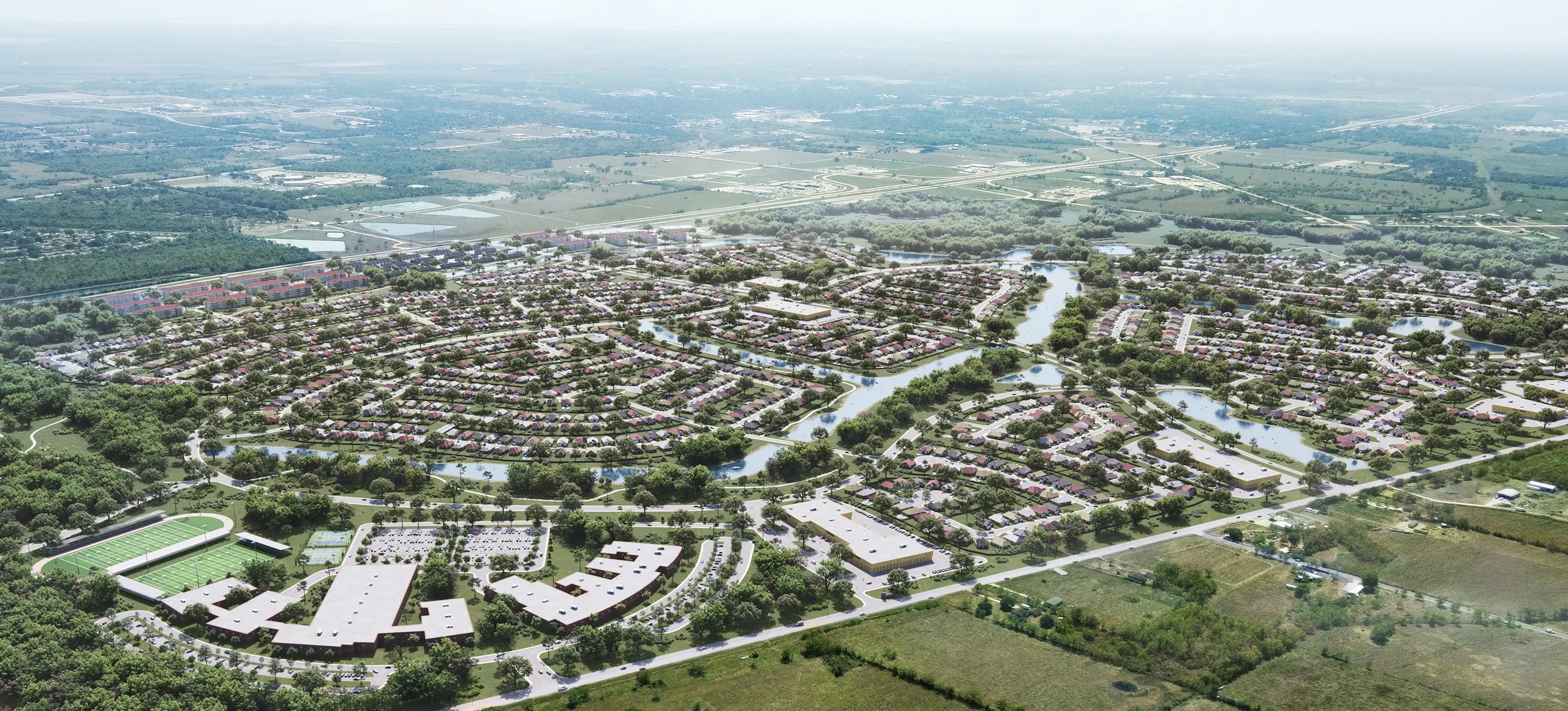
Site plan renderings and aerial renderings show a whole development at once: the buildings, streets, parking, landscape and open space, from straight above or from the air.
What you get
Built in 3D from your site plan, so the plan, the aerials and the ground-level views all agree.
Typical uses
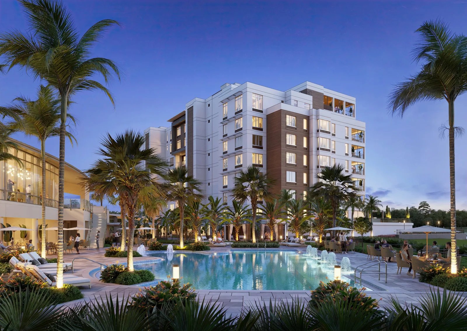
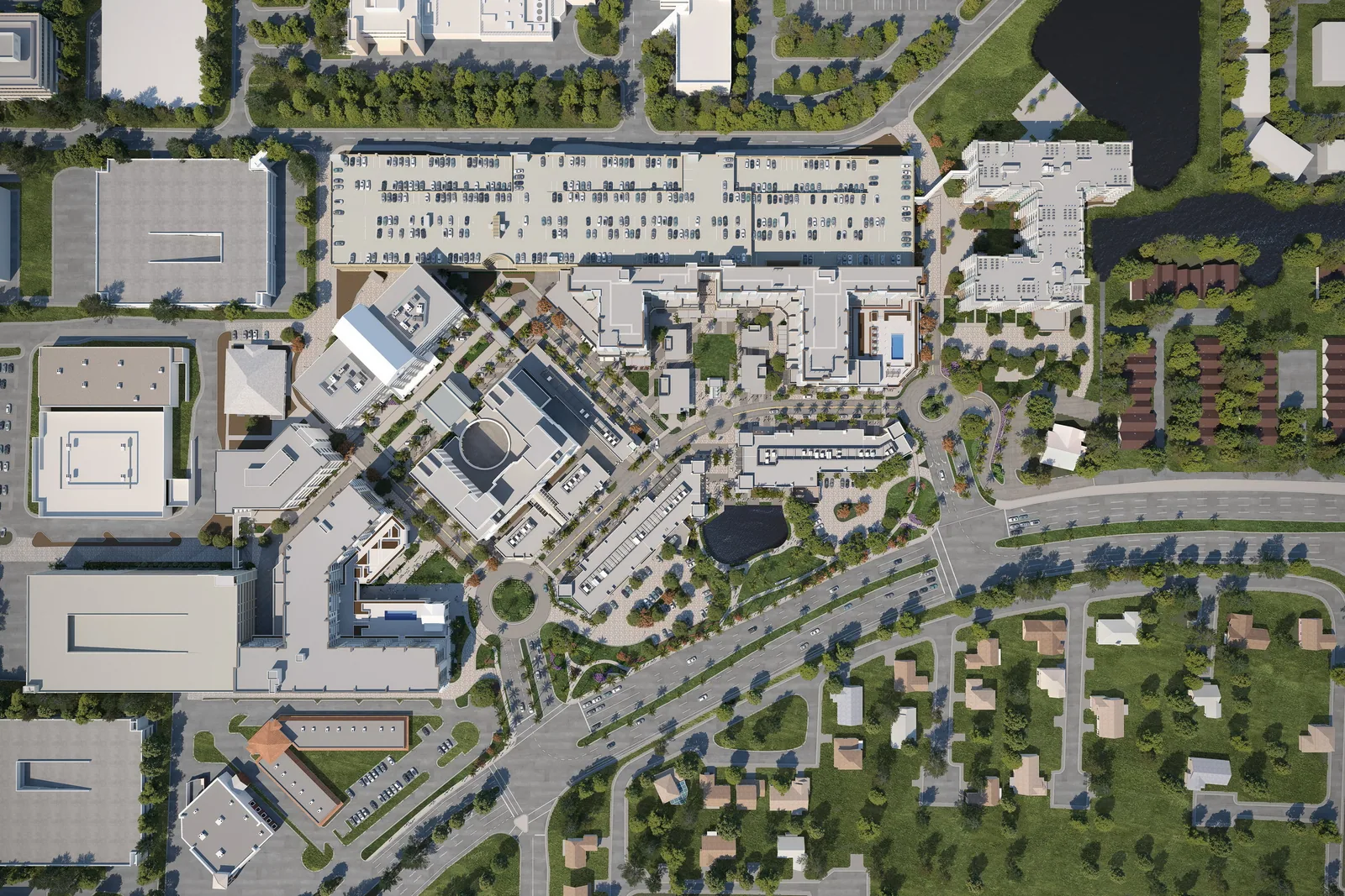
Plantation WalkPlantation, FloridaAn overhead plan with every building, road, path, tree and parking bay drawn in, clear enough to read at a glance.
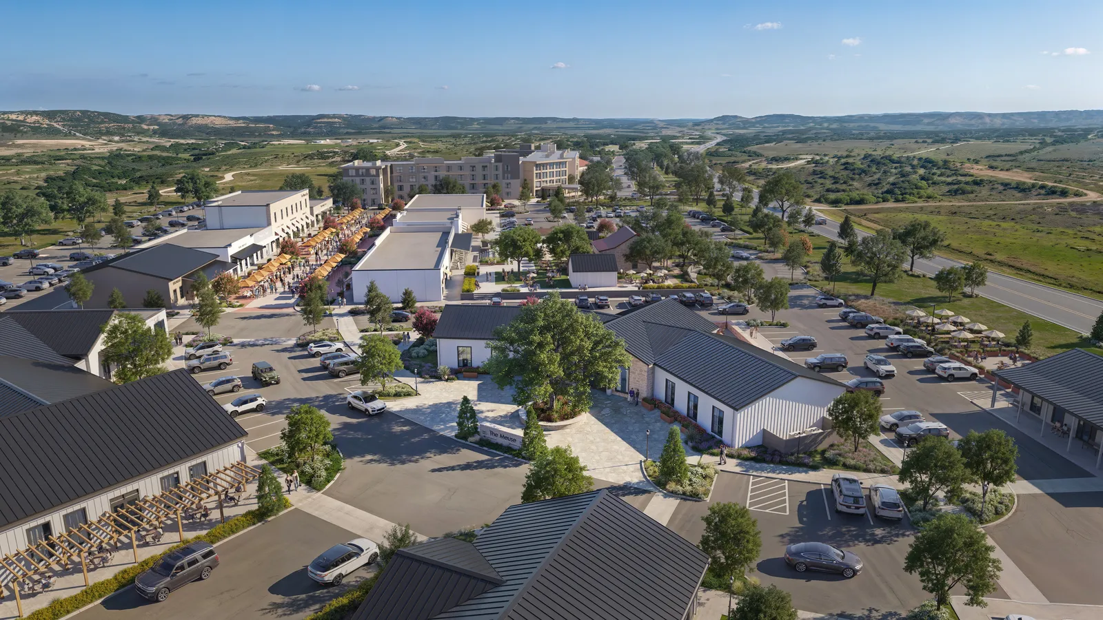
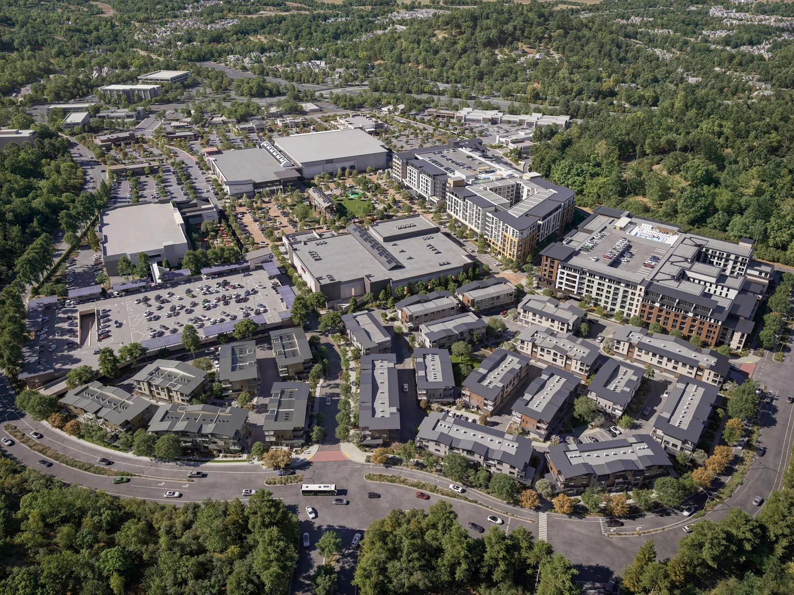
Northgate Town SquareSan Rafael, CaliforniaBird’s-eye views of the site from an angle, with the surrounding roads, neighbors and landmarks that tell people where it is.
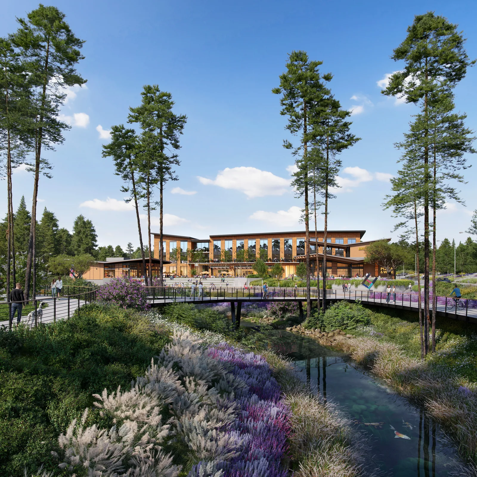
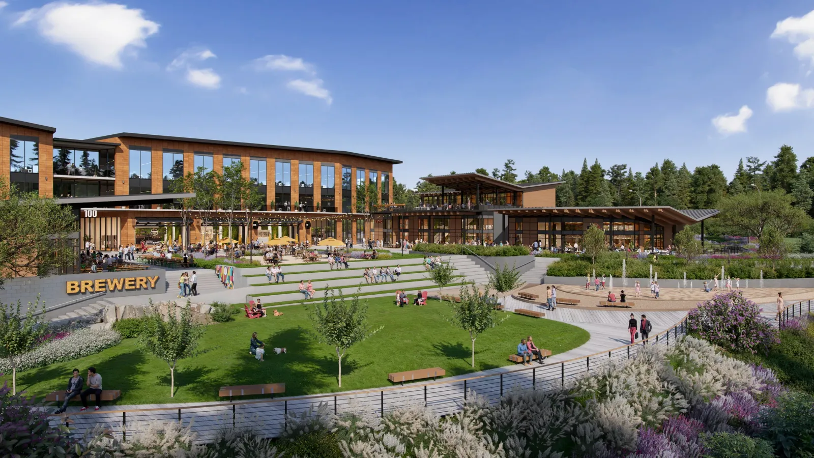
Hub RTPResearch Triangle Park, North CarolinaParks, trails, courtyards and amenity grounds at eye level, where planting and outdoor rooms are the selling point.
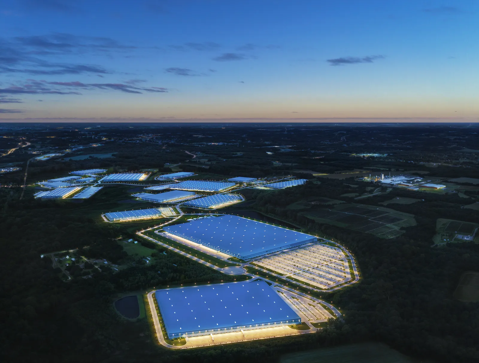
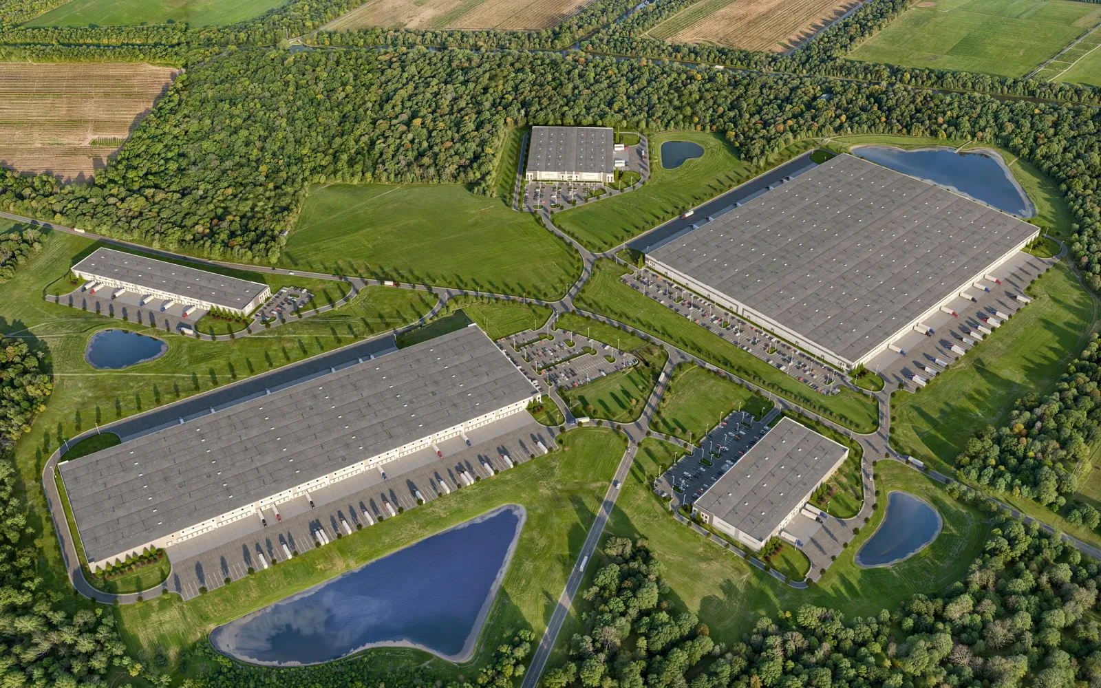
Lexington Industrial ParkLexington, North CarolinaThe same site shown at different phases or with alternative layouts, rendered from the same camera.
Building names, amenities, streets and nearby destinations labeled on a separate layer.
Selected work
Master-planned communities, business parks, resorts and town centers, seen from above. Each card opens the project page.
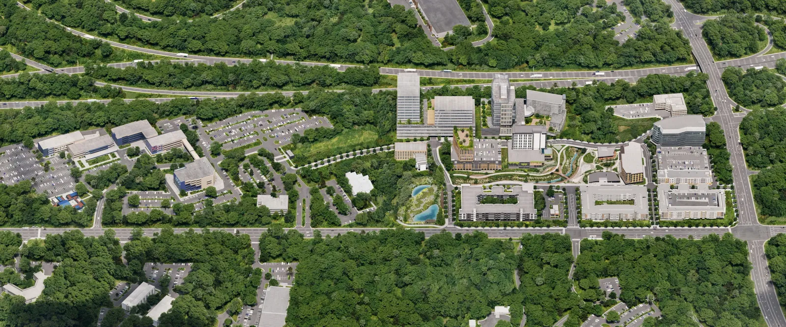
Research Triangle Park, North Carolina · 2020 · Site plan and aerials
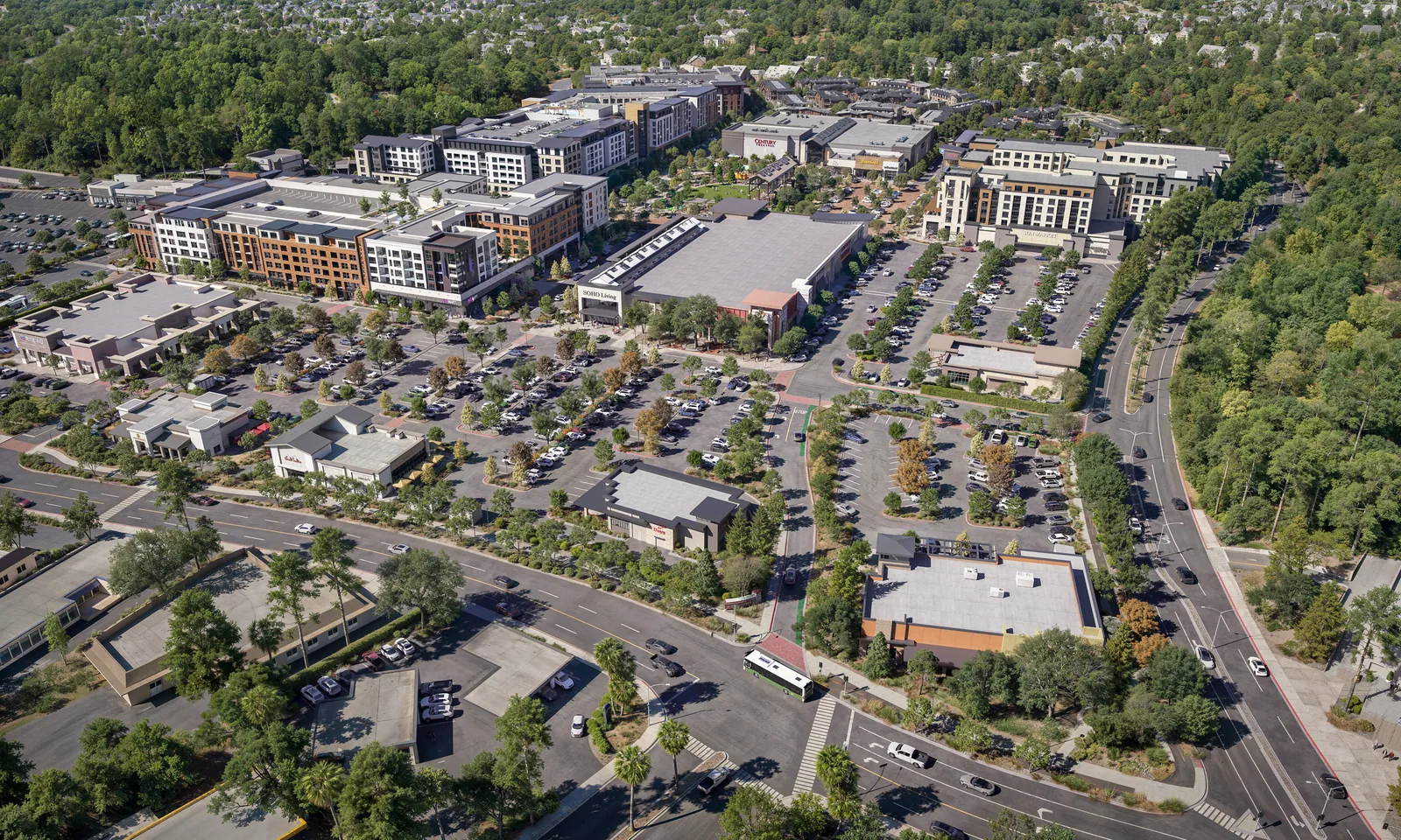
San Rafael, California · 2023 · Site plan and aerials
How it works
Site work follows the same four steps; the camera drafts include both the overhead plan and the aerial angles.
Site plan, survey or boundary, building massing, and the landscape plan if there is one.
We build the site and its surroundings and send camera drafts from above and at ground level.
You review layout, planting, labels and context. Your proposal sets out the review rounds included.
Finished plans and aerials, with labeled and clean versions. Most projects take 2–6 weeks.
Straight down, a plan explains the layout. Lower and at an angle, an aerial shows height, massing and character. We choose the height for the question the image has to answer.
For Hub RTP in Research Triangle Park, an aerial shows the whole district set in the forest, and views at ground level show the creek walk and the central lawn.
A site with nothing around it is hard to place. The roads people drive, the river, the nearby town center: these make a plan recognizable to a council member or an investor.
Trees, lawns, water and paths cover most of a site. We draw them carefully, and can show planting at installation or grown in, so expectations are clear.
A site plan may be printed on a large board for a hearing and shrunk to a thumbnail on a website. We check that buildings, paths and labels still read at the smallest size the image will be used.
Colors stay calm and consistent, so the project stands out from its surroundings without looking like a different drawing.
Before you order
A planning hearing needs the plan and honest views from the surrounding streets. An investor deck needs one strong aerial with the setting. A sales center needs a labeled plan people can find their homesite on.
A large site can show every tree and parking space, or keep the surroundings simpler so the project stands out. We settle this with you on the first draft.
If the site will be built in stages, one model of the whole plan lets you show each phase, or the full build-out, from the same camera.
Building names, amenities and nearby destinations help people read a plan, but too many crowd it. We usually agree a short list and put the rest in a key.
Who it’s for
A site plan rendering explains in one image what a large project is: how much is built, how much is open space, and how it connects to the roads and the town around it.
Councils and neighbors respond to what they can see. An honest aerial, at true scale among the existing buildings, answers questions a drawing can’t.
For business parks and town centers, a labeled aerial is the map buyers and tenants use to pick a pad or a building.
Where it’s used
Plans and aerials serve any project large enough that one building doesn’t tell the whole story.
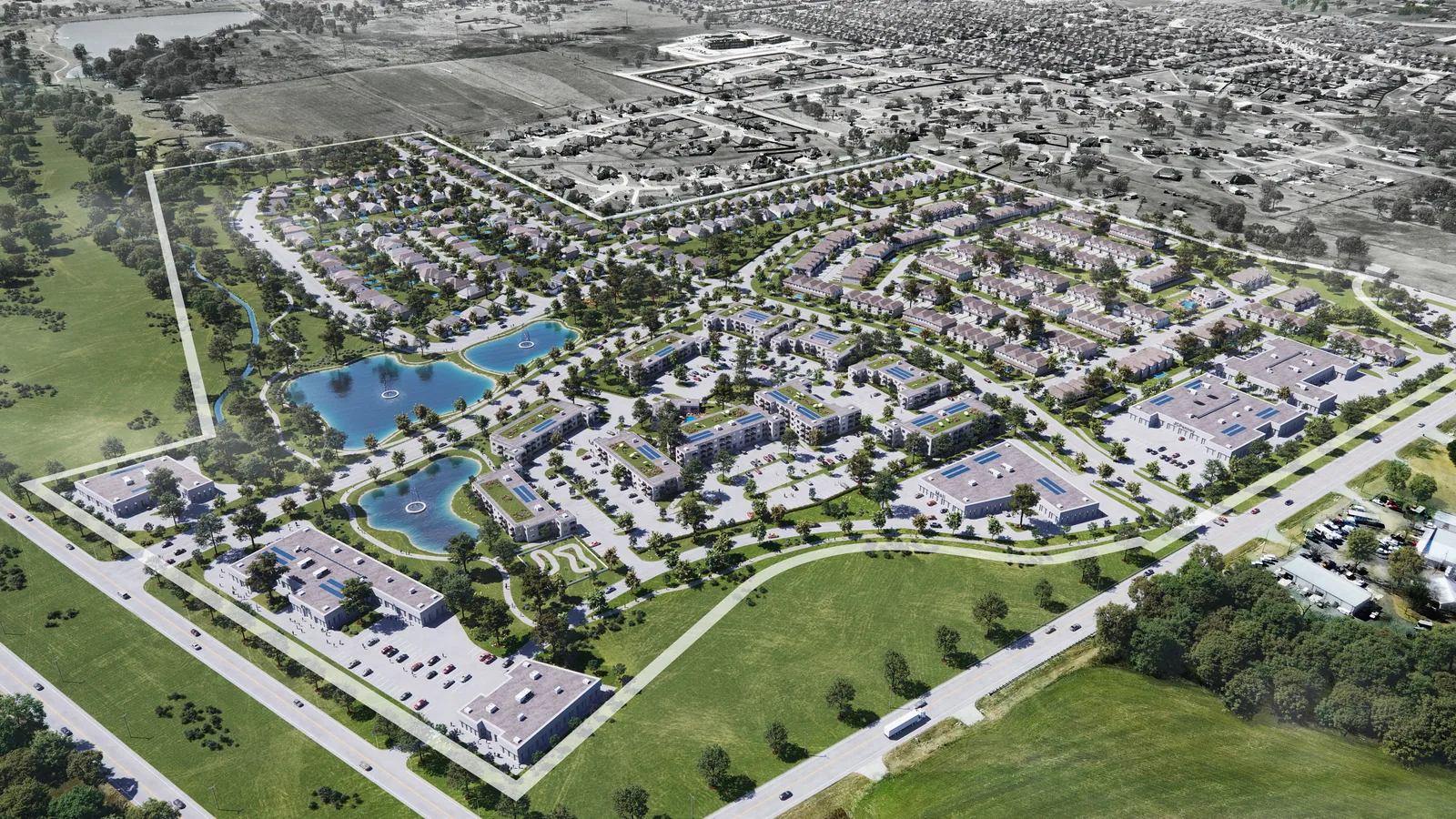 Master plansMaster-planned communities and districts.
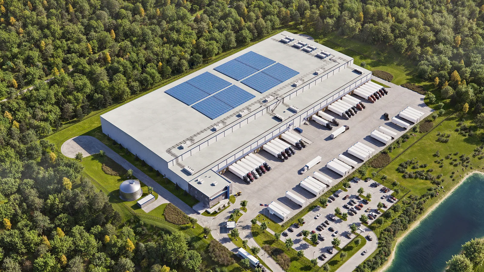 IndustrialLogistics and business parks.
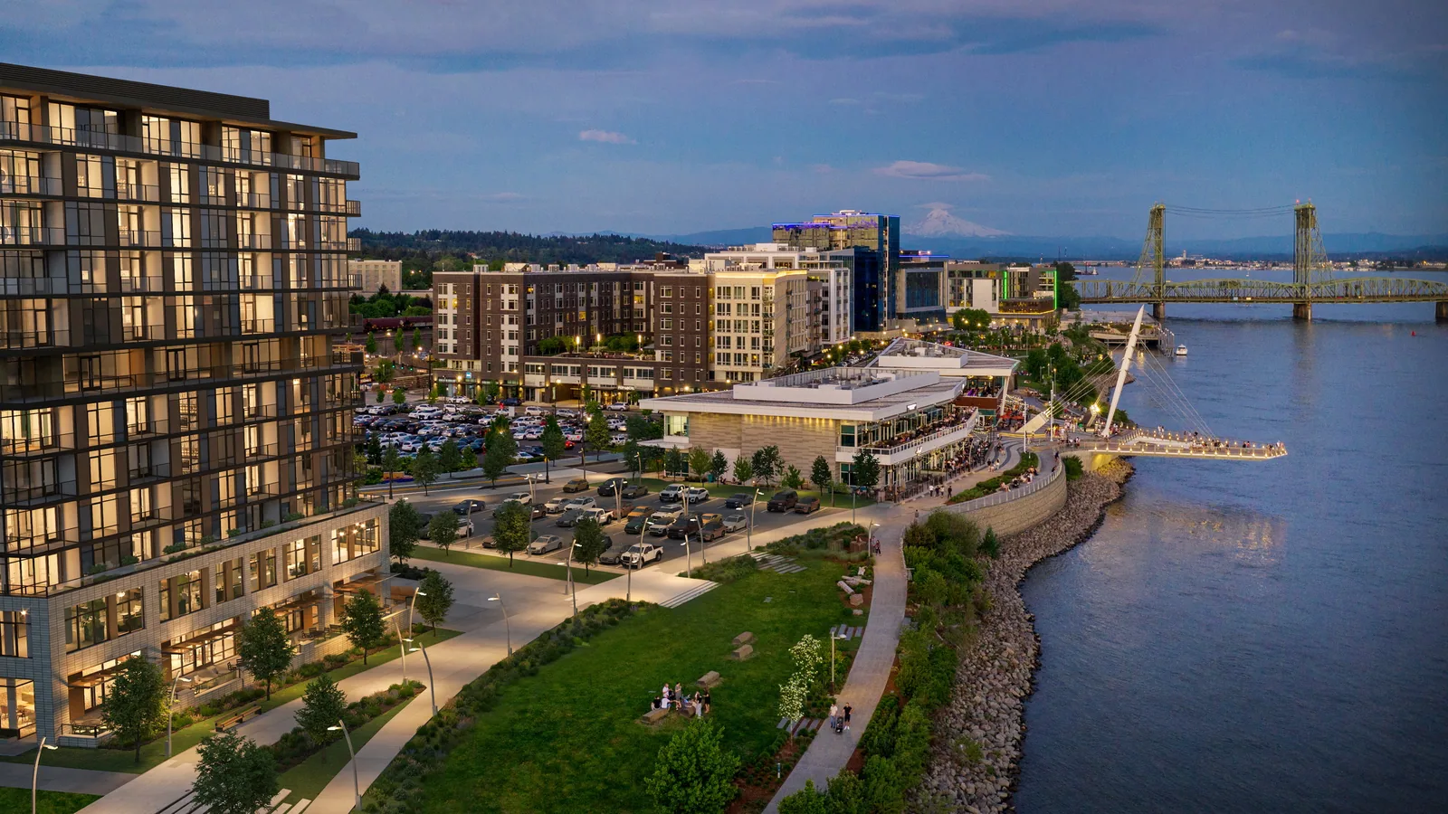 Senior livingCampuses with gardens and amenities.
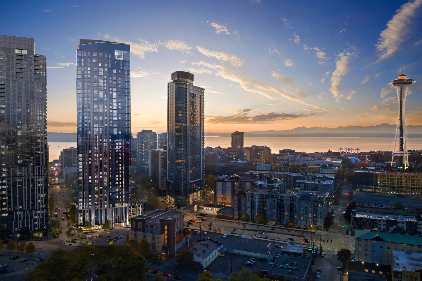 MultifamilyGarden communities and courtyard buildings.
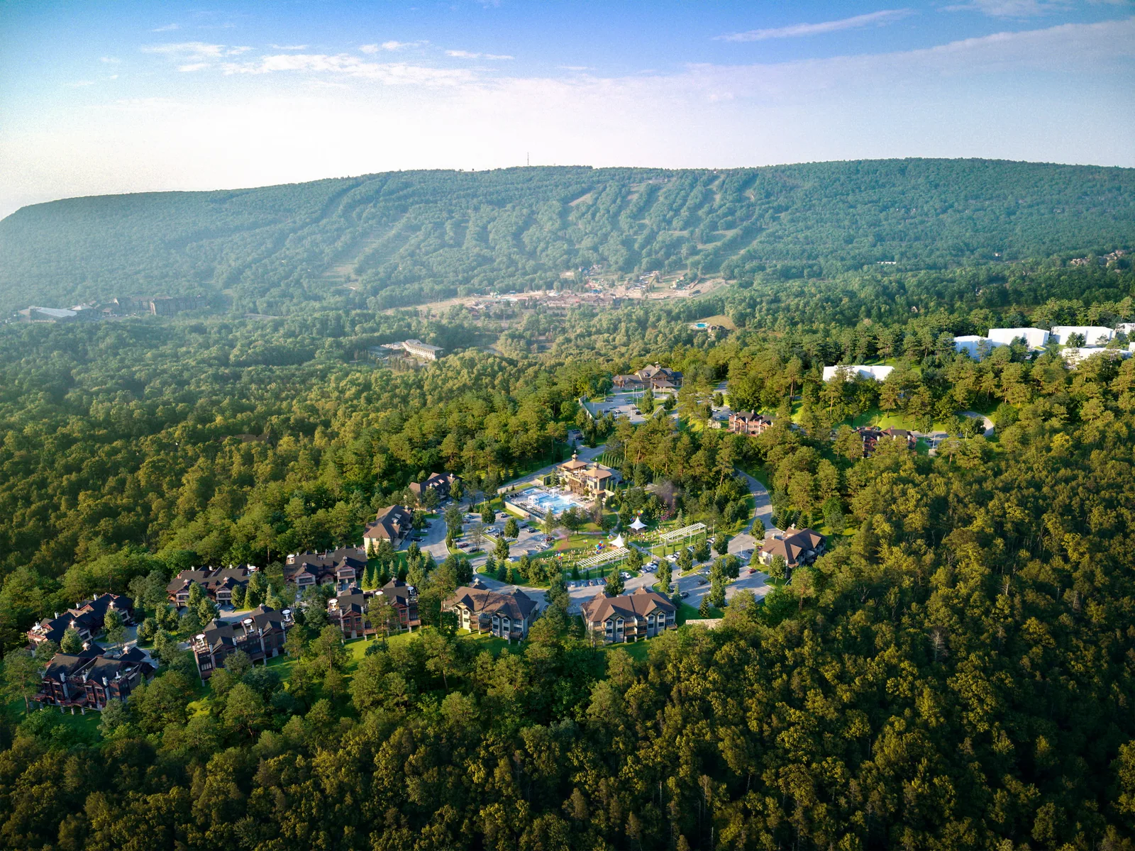 HospitalityResorts and lodges.
Cities with this work
Master plan and aerial views start at $2,500 per finished view. All rates on Services
A site plan looks straight down, like a map, and is best for layout: where buildings, roads, parking and open space go. An aerial rendering looks at the site from the air at an angle, and is best for massing, character and the relationship to the surroundings.
The site plan in CAD or PDF, building massing or models, the landscape plan if there is one, and the survey or the site boundary.
Yes. Roads, neighboring buildings, water and landmarks are built from public mapping data so the site reads in its real setting.
Yes. Once the site is built in 3D, other phases or layouts can be rendered from the same camera so they compare directly.
Yes. Site plans and aerials are often made for planning submissions and community meetings, where an honest view of scale matters most.
Yes. The same model can be animated into an aerial film. See films on Services and large-site work on Master plans.
Far enough for the setting to be recognizable: the main roads, neighboring buildings, water and landmarks. The surroundings are kept simpler than the project so the eye goes to the site.
Yes. Open sites are shown with their real terrain, roads and water, and with the planned roads where they are known.